
Construction Takeoff Software for Australian Builders
qrrise
Contributor, QRRise
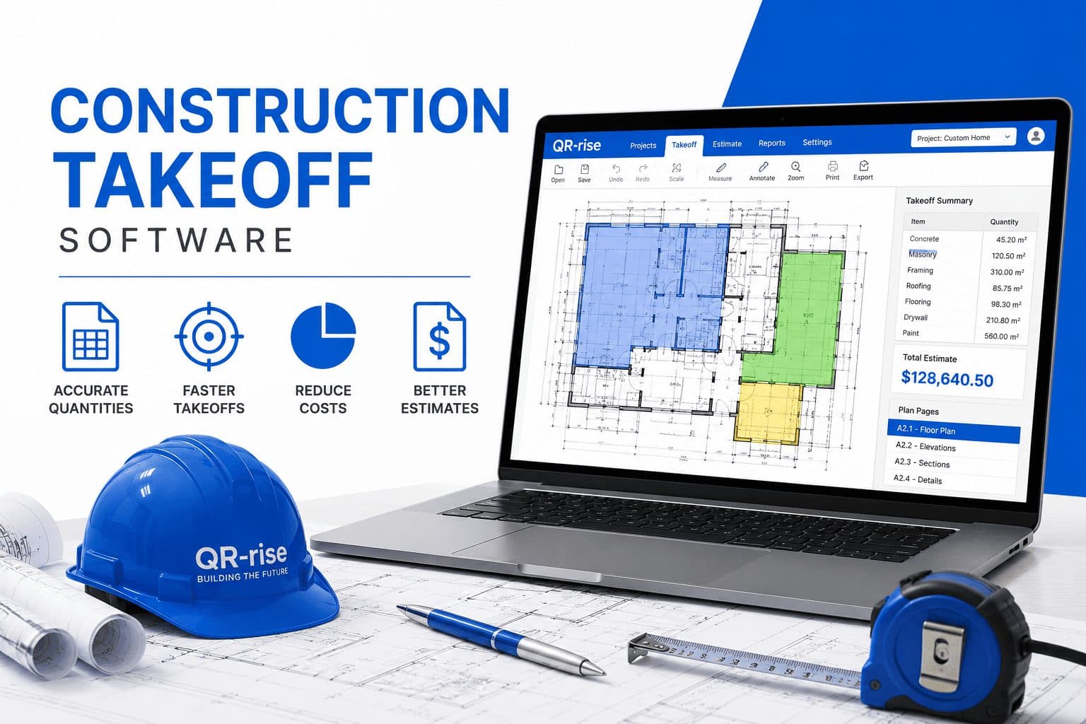
Construction takeoff software lets you measure areas, lengths and counts directly on a digital plan: set the scale once, then click to quantify walls, slabs, roofing and fixtures. Cloud takeoff means no desktop install and no lost files: your measurements live with the estimate. In QR-rise, every takeoff measurement is linked to its estimate line, so a change on the plan recomputes the price automatically.
If you are still measuring with a scale ruler on printed drawings, or worse, eyeballing quantities from experience, digital takeoff is the single biggest accuracy and speed upgrade available to a small building business. This guide walks through how it works, how cloud compares with desktop tools, and the habits that keep your quantities honest.
How Digital Takeoff Works, Step by Step
The process is the same on every job, and it is shorter than most builders expect:
- Upload the PDF plans. Drag the architect's or engineer's PDF into the job. QR-rise runs in the browser, so this works on a laptop or tablet with nothing to install.
- Set the scale once. Calibrate each sheet against a known dimension, such as a labelled wall length or the drawing's stated scale. Do this once per sheet and every subsequent measurement reads in real metres and square metres. QR-rise asks you to confirm the scale before measuring, because an unconfirmed scale is the fastest way to a quietly wrong estimate.
- Measure areas. Click around a region (the slab, a roof plane, a paved area) and the software computes the enclosed area. Cutouts and irregular shapes are just more clicks, not geometry homework.
- Measure lengths. Trace linear elements: wall runs for framing and plasterboard, skirting, plumbing runs, fence lines. Each polyline totals its segments automatically.
- Count items. Tap each door, window, downlight, GPO or fixture. Each tap is a recorded, visible marker on the plan, not a tally in your head.
- Quantities feed the estimate. This is the step that separates takeoff software from a measuring toy. In QR-rise, each measurement links to an estimate line, where your cost library prices the quantity with cost-plus margin and GST applied. No export, no re-typing, no transcription errors.
The first takeoff on a new plan typically takes a fraction of the time of a manual measure, and the record it leaves behind is worth as much as the speed.
The Three Measurement Types, Explained
Almost everything on a construction plan reduces to one of three measurement types:
- Areas (m2): slabs, floor coverings, plasterboard, render, roofing, painting, tiling, turf. Measured by tracing the boundary of a region.
- Lengths (m): wall plates, skirting and cornice, pipe and cable runs, gutters, fencing, edge beams. Measured by tracing a line along the element.
- Counts (each): doors, windows, downlights, power points, piers, fixtures. Measured by tapping each occurrence.
A useful discipline: decide the measurement type from how the item is bought and installed, not how it appears on the drawing. Plasterboard is drawn as lines but bought in square metres, so you measure wall length and height gives you area. Getting this mapping right is most of what estimators mean by "a clean takeoff".
Cloud takeoff software
Cloud takeoff software is construction takeoff in the browser. You upload the PDF, set the scale, and measure areas, lengths and counts without installing a desktop program. The measurements stay on the job, so the ute and the office see the same quantities. Searches for cloud takeoff, a cloud takeoff app, or cloud construction takeoff are this same job.
Traditional take off software is installed on one office PC. The practical differences:
| Desktop takeoff | Cloud takeoff software (QRRise) | |
|---|---|---|
| Install | Per computer, plus updates | Log in. Nothing to install |
| Files | On one disk | Stored with the job |
| Where you measure | The office PC | Laptop or tablet, same job |
| Plan revision | A new file to find | One current set of measurements |
| Pricing | Often an export to a spreadsheet | Each measurement prices an estimate line |
| Price | Licence, varies by product | Free (no card), or Pro at $129 AUD / month |
The decisive difference is pricing. Many desktop tools stop at quantities and leave you exporting to a spreadsheet. QRRise links each measurement to an estimate line, and totals are computed server-side so they cannot drift. For a small team, cloud removes installs, backups and version hunts. Desktop's old advantage, working offline at a desk, matters less every year.
AI-Assisted Measurement Detection
Counting is the most tedious part of takeoff: sixty downlights, forty GPOs, every door on three sheets. QR-rise includes AI-assisted measurement detection that scans the plan and proposes measurements for you.
The right way to use it is as a fast first pass, not a blind oracle. Let the detection find the repeated symbols, then review the markers against the plan: confirm the true positives, delete the odd false one, add anything missed. You get the speed of automation with the accountability of a human check, and every confirmed detection becomes a normal linked measurement that prices through your estimate like anything you clicked yourself.
Accuracy Tips: Habits of a Reliable Takeoff
Software removes arithmetic errors; these habits remove the rest.
- Confirm the scale before anything else. Verify your calibration against a second known dimension on the sheet. If a 9-metre wall reads as 9 metres, proceed. Scale error is the one mistake that silently corrupts every measurement after it.
- Watch for mixed scales. Site plans, floor plans and details on the same PDF often use different scales. Set and confirm scale per sheet, never assume it carries over.
- Apply waste factors at the pricing stage. Measure net quantities from the plan, then let the estimate line carry the waste allowance for cutting, laps and breakage appropriate to each material. Keeping "measured" and "allowed" separate makes your numbers auditable.
- Measure everything, even the obvious. The habit of skipping "small" items is how garages lose their door hardware and decks lose their fasteners. With counts taking seconds, there is no economy in guessing.
- Name measurements as you go. "North wall plasterboard" beats "Area 14" when you are reviewing the estimate in a fortnight, or defending it to a client.
- Re-measure the revision, not the memory. When new drawings land, update the affected measurements rather than adjusting prices by feel. Linked lines will recompute correctly; gut adjustments will not.
The Linked-Measurement Advantage
Most takeoff errors do not happen during measuring. They happen in the gap between measuring and pricing: a quantity gets transcribed wrong, a revision updates the plan but not the spreadsheet, a total gets typed over "just to round it".
QR-rise closes that gap structurally. Every measurement is linked to its estimate line: the quantity on the line is the quantity on the plan, always. Change the measurement and the price recomputes; the estimate total is derived server-side from the lines, so no screen, PDF or device ever shows a different number. When a client asks where a figure came from, you can point at the exact shape on the exact drawing that produced it. That traceability, from clicked polygon to quoted dollar, is what turns takeoff from a chore into a defence.
Takeoff is the measurement half of a larger workflow; pricing, quoting and invoicing are the other half. Send the price with quoting software for construction, or start from the free construction quote template and claim the stage with the progress claim template. For the whole chain, see construction estimating software australia. For what estimators measure and why, start with quantity takeoff.
What construction takeoff software costs in Australia
QRRise pricing is in AUD, on the pricing page.
- Free — $0. 3 takeoffs, 3 quotes and 3 client emails a month. No card.
- Pro — $129 a month (listed beside $299). Unlimited takeoffs and quotes, AI takeoff, online payments, job photos and files, Xero, and priority support. 30-day free trial (card required, $0 charged). GST is extra if it applies.
Try Cloud Takeoff on Your Own Plans
Reading about takeoff is no substitute for running one. Upload a current set of plans to QR-rise, set the scale, and measure a few areas and counts. You will have priced quantities inside your first session, in the browser, with nothing to install. Start free — no card. Upgrade to Pro when you outgrow the caps.
Frequently asked questions
What is construction takeoff software?
Construction takeoff software lets you measure quantities (areas, lengths and counts) directly on digital plans instead of paper. You set the drawing scale once, then click to measure; in QR-rise those quantities feed straight into a priced estimate.
What is the best takeoff software for small builders?
For a small Australian builder, the best takeoff software is cloud-based (no install, no lost files), covers all three measurement types, and links measurements directly to estimate pricing so nothing is re-typed. QR-rise is built to exactly that shape, with AI-assisted detection to speed up counts.
How accurate is digital takeoff compared to manual?
Digital takeoff removes the two biggest manual error sources (scale-ruler misreads and arithmetic slips) and leaves a visible record of every measurement on the plan. Accuracy then depends on good habits: confirming scale per sheet and applying waste factors at the pricing stage.
Can takeoff software read plans automatically?
Partially. QR-rise's AI-assisted detection can find repeated symbols and propose measurements, which you then review and confirm. It is best treated as a fast first pass with a human check, not a replacement for reviewing the plan.

